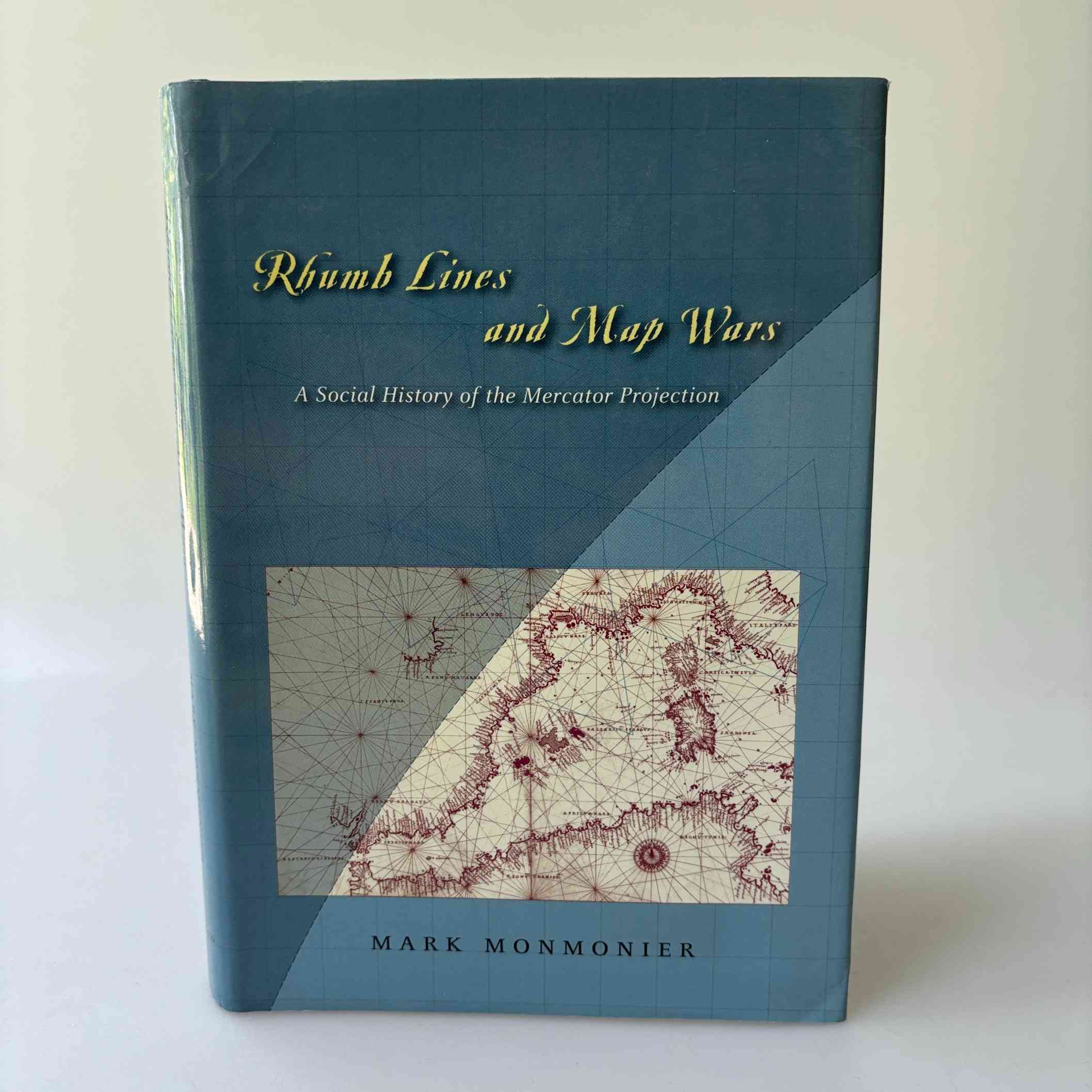
Mark Monmonier: Rhumb Lines and Map Wars – A Social History of the Mercator Projection
85 kr.
Udgivelsesår: 2004
Stand: Pænt eksemplar. Hardcover med smudsomslag.
ISBN: 9780226534312
Sidetal: 256
På lager: 1 på lager
In Rhumb Lines and Map Wars, Mark Monmonier offers an insightful, richly illustrated account of the controversies surrounding Flemish cartographer Gerard Mercator’s legacy. He takes us back to 1569, when Mercator announced a clever method of portraying the earth on a flat surface, creating the first projection to take into account the earth’s roundness. As Monmonier shows, mariners benefited most from Mercator’s projection, which allowed for easy navigation of the high seas with rhumb lines—clear-cut routes with a constant compass bearing—for true direction. But the projection’s popularity among nineteenth-century sailors led to its overuse—often in inappropriate, non-navigational ways—for wall maps, world atlases, and geopolitical propaganda.
Because it distorts the proportionate size of countries, the Mercator map was criticized for inflating Europe and North America in a promotion of colonialism. In 1974, German historian Arno Peters proffered his own map, on which countries were ostensibly drawn in true proportion to one another. In the ensuing “map wars” of the 1970s and 1980s, these dueling projections vied for public support—with varying degrees of success.
Relaterede varer
-
Diverse
Dennis Nørmark og Lars Andreassen: Det virkelige menneske – Sjælens og kulturens naturhistorie
Den oprindelige pris var: 140 kr..100 kr.Den aktuelle pris er: 100 kr.. Tilføj til kurv